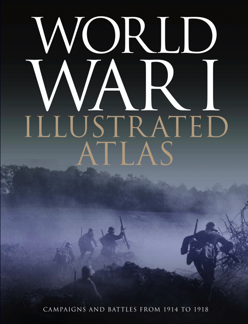
World War I Illustrated Atlas: Campaigns, Battles & Weapons from 1914 to 1918

Author: Michael S. Neiberg
Publisher: Amber Books
With expert, accessible text and accompanying archival photographs, this complete atlas provides an invaluable work of reference for both the general reader and the serious student of World War I.
One of my biggest regrets is never meeting my great-grandfather. All I know about him is he fought in World War One, was shot in the calf somewhere on the Western Front and abandoned in woodland while injured. They left him there for four days, by which time the gangrenous leg needed removing.
Perhaps it’s this regret, but I’ve always loved books like this World War 1 Illustrated Atlas. I used to love the battlefield diagrams and trying to understand the order of movement.
When I received this book, I read the introduction and immediately went to the battles I knew from high school. The Somme. Passchendaele. Verdun. I devoured these pages and felt a new appreciation for their scale and cost. I wanted a little more of the human element, however. I realise this is a book of maps, but I’d have loved some stories about men who fought in the battles pictured or even to know the butcher’s bill.
Once I’d been through the battles I knew, I moved to broader areas of the war. It’s all in here. Each theatre of war and each battle. They map each theatre in chronological order. Each page deepens one’s understanding of just how massive the “Forgotten War” really was.
For me, the cherries on the cake were the areas we missed in school. I did not know there was a Palestinian or a South American front to the war. I did not fully appreciate the technological advances that made warfare and killing ever more efficient. I do now.
I really enjoyed browsing through the World War 1 Illustrated Atlas, and I have a feeling I’ll be returning to it frequently. Each time, I have no doubt I’ll get something new from these pages. Well recommended.
-E.M.
no-repeat;left top;; auto
