Toronto braces for another round of heavy rain and thunderstorms after last week's severe flooding
A mid-week storm system is expected to bring heavy rain and potential flooding to Toronto and eastern GTA areas, though meteorologists confirm it won't reach the severity of last week's extreme weather event that caused widespread damage.
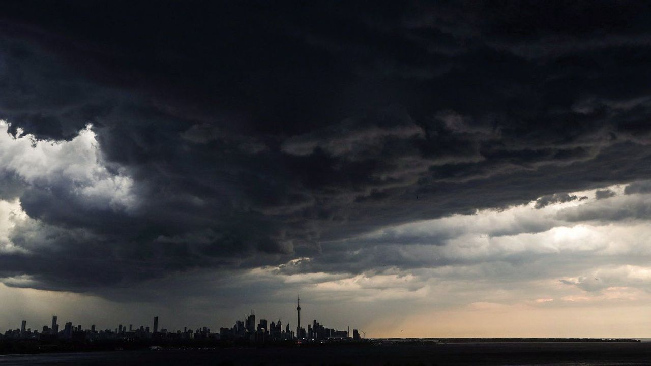
Just one week after torrential downpours triggered severe flooding, downed trees and widespread power outages across the Greater Toronto Area, residents are preparing for another significant weather event. While forecasters emphasize this system will be less intense, the timing and already saturated ground conditions raise concerns about localized flooding and transportation disruptions during key commuting periods.
Detailed storm timeline and conditions
The weather system will arrive in the early morning hours of Wednesday, with initial showers developing between 4 and 5 a.m. These early rains will continue through the morning commute, potentially causing wet road conditions for early risers. The day will begin with unusually warm temperatures near 18°C, a notable departure from the typical morning low of 11°C for early September. Meteorologists attribute this warmth to the humid air mass accompanying the storm system, which will see humidity levels build throughout the day. By afternoon, the humidex value will approach 35, creating muggy conditions that may persist even after the rain passes.
Rainfall intensity and geographic distribution
The precipitation pattern will occur in two distinct phases. Morning showers will initially increase soil saturation across the region, followed by a midday break before more intense storms develop around 3 p.m. This second wave of precipitation coincides with critical afternoon hours when schools dismiss and commuters head home. The heaviest downpours are expected to last approximately two to three hours, with lightning possible between 4 and 6 p.m. Rainfall amounts will vary significantly across the region, with Toronto and eastern areas like Oshawa and Peterborough likely to receive the most substantial totals. While most locations can expect 10-20 millimetres, thunderstorm-affected areas could see localized accumulations approaching 50 millimetres, raising concerns about flash flooding in vulnerable urban areas.
Comparative analysis with last week's storm
CityNews Chief Meteorologist Natasha Ramsahai provided important context about this system's relative intensity compared to last week's extreme weather:
"If last week's severity was a 10/10, I am forecasting [Wednesday's] to be closer to five or six out of 10."This assessment considers multiple factors including rainfall rates, wind speeds and overall storm duration. The previous event's devastating impacts included flooded basements, submerged vehicles and extensive infrastructure damage across the region, setting a high benchmark for severe weather. While this week's system carries risks, the reduced intensity suggests a lower likelihood of similarly widespread consequences.
Wind impacts and secondary hazards
Wind patterns represent another key difference between the two weather events. Last week's storms produced damaging gusts up to 130 kilometres per hour, while Wednesday's system is forecast to generate winds in the 60-80 km/h range, with isolated stronger gusts near 90 km/h possible in western GTA areas. Ramsahai explained the significance of these wind speeds:
"We start talking about the potential for wind damage and power outages at 90+ kilometres per hour, in the city, we shouldn't get there with these ones [on Wednesday]."The reduced wind speeds decrease the probability of widespread tree damage and electrical outages, though isolated incidents remain possible. Other severe weather risks including hail and tornadoes are considered much lower than during last week's extreme conditions.
Urban flood risk factors
Several compounding factors increase flood potential despite the storm's moderate classification. The early morning rains will further saturate soils already waterlogged from recent precipitation, reducing the ground's ability to absorb additional rainfall. When heavier downpours arrive in the afternoon, this creates ideal conditions for rapid runoff overwhelming drainage systems. Low-lying areas, underpasses and neighborhoods with aging infrastructure remain particularly vulnerable. The storm's timing across both morning and afternoon commute periods also raises transportation safety concerns, as visibility reductions and water accumulation on roadways could create hazardous driving conditions during peak travel times.
Broader weather pattern context
This mid-week storm continues a series of unsettled weather episodes affecting southern Ontario. The region experienced significant rainfall to start the work week, and forecast models suggest humid conditions will persist beyond Wednesday's event. These developments follow a recent multi-day heatwave that tested the region's cooling infrastructure and public health preparedness. While no single weather event can be directly attributed to climate change, meteorologists note the increasing frequency of these volatile weather patterns aligns with broader climate model projections for the Great Lakes region. The rapid succession of heatwaves and heavy rainfall events presents unique challenges for urban planning and emergency management systems designed around historical weather norms.
Preparedness and safety considerations
Residents in flood-prone areas should remain vigilant as the storm approaches. Practical precautions include clearing storm drains near properties, securing outdoor items that could become projectiles in strong winds, and avoiding unnecessary travel during peak rainfall periods. Commuters should anticipate potential transit delays and allow extra travel time, particularly for afternoon journeys when the heaviest rain is expected. While the overall risks are lower than last week's extreme event, the combination of timing, existing ground saturation and urban infrastructure vulnerabilities creates a scenario where localized impacts could still be significant for affected neighborhoods.